Print option
After filling out all of the information, is there a way I can print my plan and map into one nice document instead of viewing it on the computer?
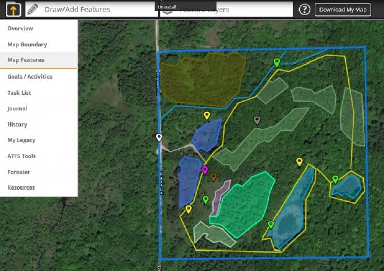
While it is not currently possible to print the entire contents of a land plan, users do have the ability to download and print map image files. Once you have accessed the mapping tool and added features to your map, click on the "Download My Map" button in the upper right corner. This will generate a PNG image file of your map, which you will then have the option to print.
The ability to print an entire plan is a highly requested feature and is under consideration for a future upgrade to MyLandPlan.org.

