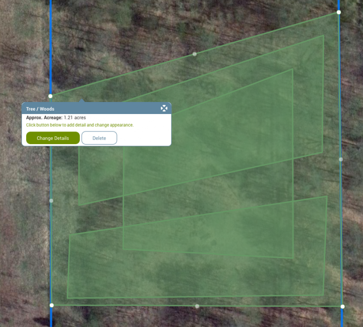
Mapping tool: How do you map a stand that completely surrounds another stand on all sides?
I am trying to map an interior forest stand surrounded on all sides by another forest type that I want to map as a separate stand. Essentially "a stand within a stand". I can draw the second stand over the top of the first stand with the mapping tool, but the overlapping acreage is counted twice. The video doesn't seem to address this case.
We are unable to replicate the problem you are having as we understand it. We are able to place stands within (or on top of) other stands with accurate acreage calculations. If you continue to have problems, drop us an email at info@mylandplan.org.

