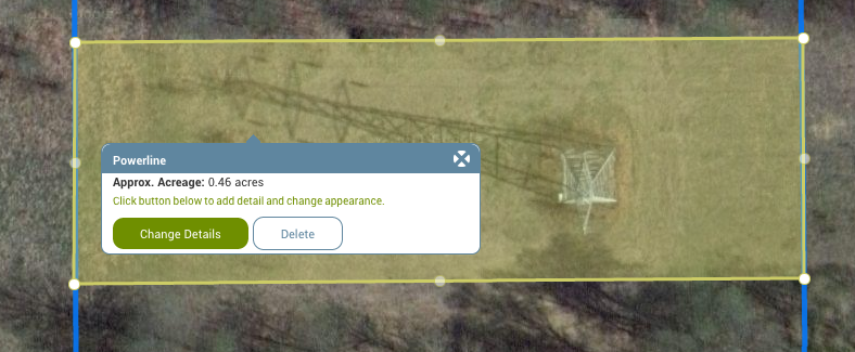
How to draw stand boundaries on the aerial photo and figure out stand acres?
Once you draw any feature on your map, click on the feature to see the acreage (in the case of a polygon) or length/distance (in the case of a line). From this dialog box, you can also do things like add more detail, change the title of the feature or change the color. Check out this video for more help.

