Map your land
Enjoy your land more, map what you have.
If you don’t know what is on your land then how can you really enjoy it? How can you keep it healthy?
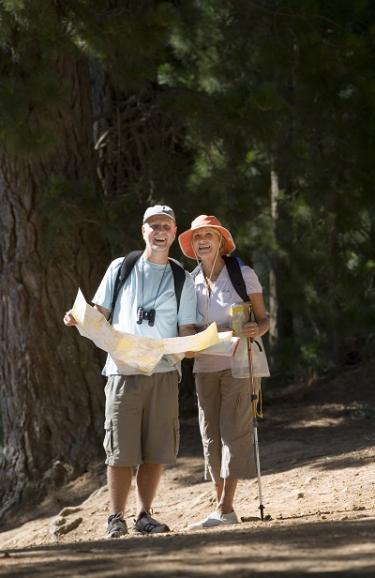
Maps are a necessary tool for landowners. Not only do you need them while enjoying your land (a helpful trail map can ensure that you and your family can see).
But maps can help in so many other ways as well:
- Need more trails? Use a map to help get a better understanding of your land and its topography, chart out your trails and identify all the places you’d like to highlight on your trail.
- Want to find some good wildlife viewing places or set up some trail cameras? You can document on your map some good places and then use the map to find those spots again.
MyLandPlan.org lets you create a map of your land with its easy to use mapping tool. All you need to do is set up an account to get started. And you can use latitude and longitude points to create the boundaries of your land on your MyLandPlan.org map. Learn how to map your boundaries with GPS points.
New to GPS? Learn about:
Previous page
Next page
How can I get more tips?
It’s simple! Enter your email below.