What Can GPS Do for Me?
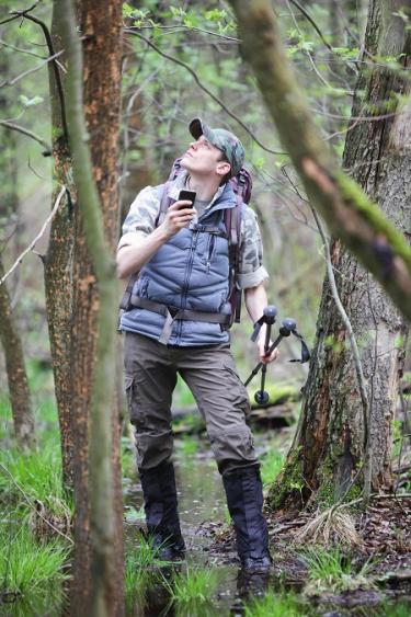
Whether you’re planning an activity or just taking a walk in your woods, a GPS unit can come in handy. Using GPS can help you:
Map. A detailed map of your woods is an essential part of your plan for your land, but making note of all the nooks and crannies can be overwhelming. With GPS, marking important sites only takes the push of a button or two. You can record waypoints, which are specific spots on your land; tracks, which are paths you’ve traveled; and routes, which are like tracks but are composed of waypoints. Together, these enable you to map
- your property boundaries
- areas damaged by insects or natural disasters
- areas that host invasive species, or protected ones
- trails and trailheads
- roads and rights of way
- bodies of water, such as streams or ponds
- preferred hunting grounds or tree stand locations
- special sites that have historical, cultural, ecological or personal value
Measure. With accurate coordinates for all the important points on your property, it’s far easier to measure areas and perimeters when you need to. And these measurements are useful when you
- plan an activity on your property, like a weed removal, where you need to measure the extent of the weed covered area
- need to measure tree planting and replanting areas
- need to know distances between points on your property—for example, to know how many miles of trails you have in your woods
Play. From hunting to hiking, there’s plenty to do in your woods. GPS can enhance some of those experiences. You can
- plot waypoints—anything from a favorite picnic spot to a scenic vista—for your hike, or map out your whole walking trail in advance
- explore your woods and set your GPS unit to track you, so you can review your path afterwards
- record the locations of good fishing or hunting spots
- figure out how far you’ve traveled and how quickly, if you’re a runner or cyclist monitoring your performance
- hunt for benchmarks on your property. Benchmarks are survey markers—often small metal disks—that denote a point whose position is very precisely known for the use of land surveyors and map makers. These benchmarks are scattered throughout the country, and many hobbyists use GPS to track them down and share their finds with others.
Stay safe. Using GPS, you can record the location of safety hazards on your property. But knowing where danger is isn’t the only way that GPS can help keep you safe. With GPS, you can
- find your way back even if snow, rain, flooding or other sudden changes obscure your trail
- alert others to your exact location, should you become stranded due to injury, illness or a natural disaster
Certain GPS units have other capabilities too, including electronic compasses, digital cameras, two-way radios, or barometers to gauge changes in the weather. So is there anything a GPS unit can’t do?
How can I get more tips?
It’s simple! Enter your email below.