The What, When and Where of Hurricanes
A hurricane is a large circular storm that develops over warm tropical waters and has sustained winds of 75 miles per hour (mph) or more. Typically, hurricanes are 300 miles wide but their size can vary considerably.
Hurricanes are rated on a scale (the Saffir-Simpson Hurricane Wind Scale) of 1 through 5: Category 1 storms have winds of 74 to 95 mph, and Category 5 has wind speeds greater than 155 mph. Generally, the intensity of a hurricane is a good predictor of the damage it will cause, but even lower category storms can cause significant damage, depending on where and when they strike.
In terms of tree damage, Category 1 storms can cause large branches to snap and shallow rooted trees to topple. At Category 3 (wind speeds of 111-130 mph) many trees are likely to snap or be uprooted. Heavy rains and storm surges associated with hurricanes can also cause extensive flooding to lowland forests and forested wetlands.
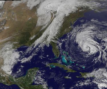
The Atlantic hurricane season runs from June 1 to November 30, and the Eastern Pacific season from May 15 to November 30. The Atlantic Basin includes the Atlantic Ocean, Caribbean Sea and the Gulf of Mexico. Although hurricanes originating in the basin can make landfall anywhere, along the Gulf and eastern seaboard of the United States, coastal areas in the south—from Texas to the Carolinas—are particularly at risk. For example, 64 major hurricanes (Category 3 to 5) made landfall in the U.S. between 1900 and 1996. All but four hit along the southern coast. Storms originating in the Eastern Pacific tend to dissipate before hitting the U.S.
To see if you are in an area where hurricanes occur frequently, take a look at these maps charting the paths of recent hurricanes in the southeastern United States. Also visit the National Hurricane Center for general information about hurricances and articles on hurricane preparedness.
How can I get more tips?
It’s simple! Enter your email below.